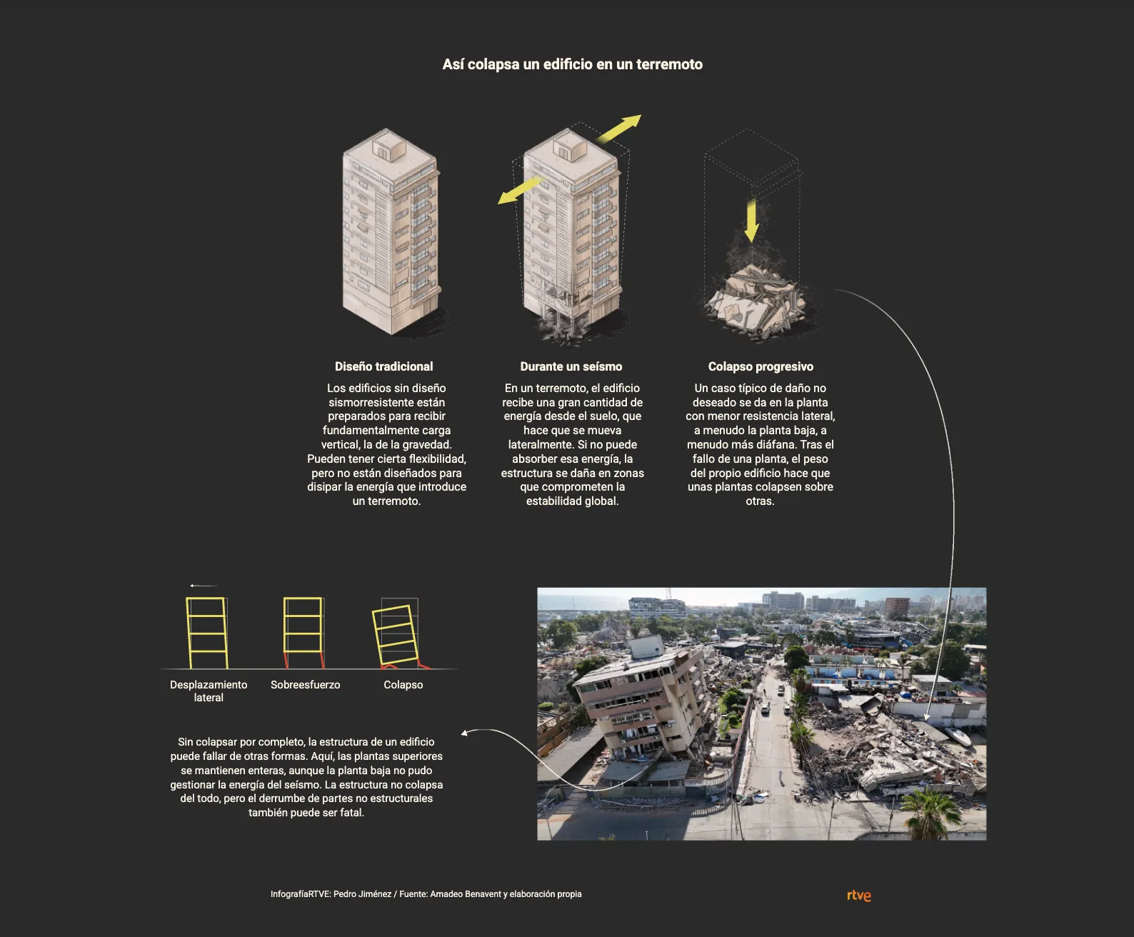
Using the Venezuela earthquake in the La Guaira area as a case study, we use Copernicus-based maps, satellite imagery and infographics to explain why two buildings can respond so differently to the same earthquake, and what construction and prevention challenges remain in Spain.
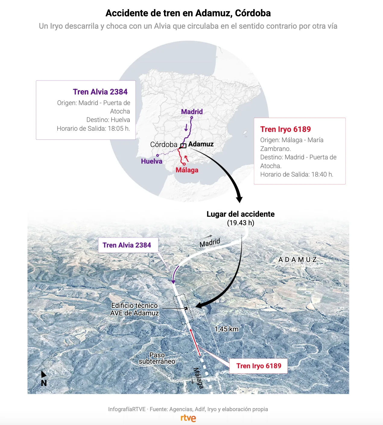
After the collision of two high-speed trains in Adamuz (Córdoba), which left more than 40 dead and around a hundred injured, we used maps and graphics to visualize what is known about the location and the impact between the Iryo and Renfe trains.
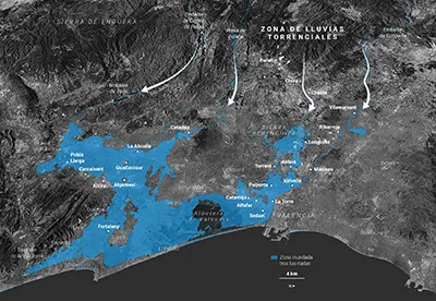
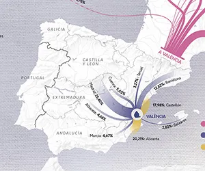
A week after the DANA catastrophe, we show the extent of flooding in the province of Valencia through maps highlighting the locations of the main affected municipalities.
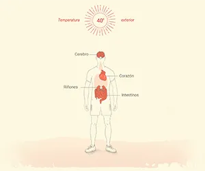
Following the new heat alert system launched by the Ministry of Health, we analyze through maps and illustrations the heat thresholds over the last 30 years and the effects of heat on our body.
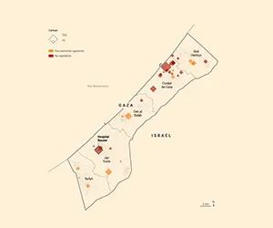
Visual narrative detailing the siege of Nasser Hospital, narrated firsthand from inside the hospital. Different types of visualizations are combined to offer an immersive narrative.
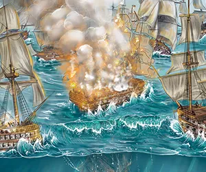
Visual narrative showing up to 6 timelines remembering that fateful day. Theme based on a Mapbox-developed map where you can select the desired timeline and traverse through the story.
Graphic style design, graphics editing, graphics team coordination and development for the creation of the 2023 Senate and Congress general election results page.
Design, illustration, and editing of all visual elements for the topic 'Proximity, Trust, and Economic Boost: Why the Return of Business Travel is Important'. Client Buena energía, Vocento.
Design, illustration, and editing of all visual elements for the topic 'The Story of Bee 12,376 That Grew Up Among Solar Panels'. Client Buena energía, Vocento.
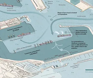
Double page and digital format adaptation about the expansion of the Port of Valencia showing its evolution through a map and displaying its main characteristics.
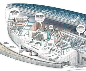
Double page and digital format adaptation about the Valencia Conference Center after being named World's Best Conference Center. Additionally, creation of a video-graphic.
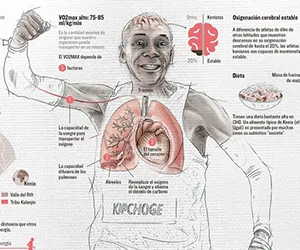
Double page and digital format adaptation about the Valencia Marathon, showing the route and its characteristics, focusing on an analysis of Kenyan runners' physical characteristics.
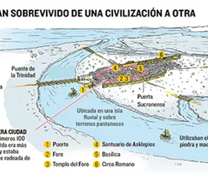
Vertical double page and digital format adaptation with included video-graphic, about Valencia's archaeological remains and its evolution as a city through them.